Highlights van Afrika
Typisch
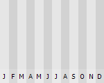
Klimaat
| Temperatuur | Beste tijd voor een reis |

|
|
Typisch
| Officiële landsnaam | Afrika |
Interessante boeken over Afrika
-
Reisgids Kenia & Tanzania | Trotter lannoo | 24.95 €
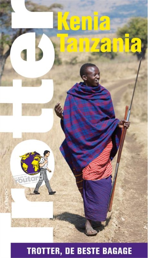
Veel aandacht voor praktische informatie als hotels en restaurants, maar ook beschrijvingen van bezienswaardigheden. Handig zijn d... meer
Veel aandacht voor praktische informatie als hotels en restaurants, maar ook beschrijvingen van bezienswaardigheden. Handig zijn de vele plattegronden: verrassend en verfrissend geschreven!Met steeds meer informatie over de lokale cultuur en bezienswaardigheden, uiteraard steeds kritisch gescreend.- Ruime keuze aan grondig geteste hotelletjes, restaurants, tearooms ...- Trotter heeft een aanbod voor alle categorieën van reizigers.- Zeer handige plannetjes waarop alle adressen zijn aangeduid.- De ideale gids om ter plaatse te gebruiken: een echte reisgezel.Een must voor elke reiziger- die Kenia en Tanzania echt wil beleven- die wil weten waar hij wel en niet moet zijn- die naast beroemde bezienswaardigheden ook graag unieke plekjes opzoekt- die niet de plaatjes wil maar het echte verhaal- die graag kiest voor originele restaurants en hotels - voor elke portemonnee -
Wegenatlas Cape Town to Port Elizabeth Road Atlas | Mapstudio | 17.95 €
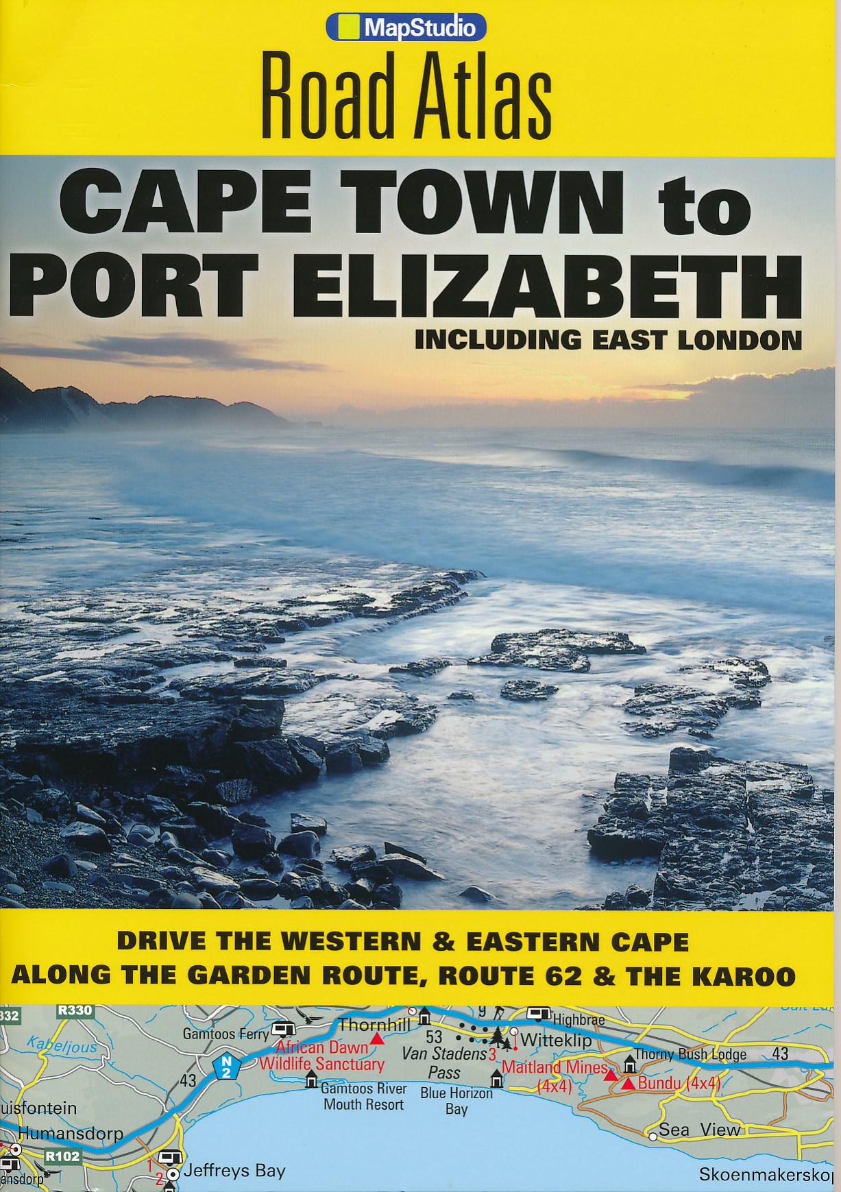
The Cape Town to Port Elizabeth Road Atlas covers the main coastal route of the Western Cape and Garden Route between Cape Town and East London. The... meer
The Cape Town to Port Elizabeth Road Atlas covers the main coastal route of the Western Cape and Garden Route between Cape Town and East London. The atlas provides tourist friendly information, tourism contact details and resources.Included in this road atlas are are 1:750 000 scaled maps of the region, a detailed index and street plans of the following towns and cities:- Cape Town- Knysna- Port Elizabeth (including Summerstrand)- East London- Mossel Bay- Stellenbosch- Franschhoek- Worcester- Struis Bay- Hermanus- Swellendam- Montagu- Cape Infanta- Hartenbos- Oudtshoorn- George- Wilderness- Sedgefield- St Francis Bay- Jeffrey's Bay- Kenton on Sea- Grahamstown- Port Alfred- Beacon Bay- Kei Mouth
Vakantiebestemmingen met vergelijkbare kenmerkenMisschien bent u ook geïnteresseerd in andere vakantielanden met de volgende kenmerken: |
Reis en Vakantie Top 10Afrika is vertegenwoordigd in de volgende reis top10's: |
Bestemmingen in Afrika

- © 2010-2015 top10gezien.nl
- over deze site
- disclaimer
- adverteren
- contact